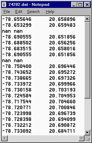
The screen image shows part of a typical coastline data file. They are lists of longitude/latitude coordinates forming coastline segments, with different segments separated by a "nan nan" line.
Coastline Data files can be obtained free for any part of the world from USGS Coastline Extractor. Use the "Matlab" format for the files.
|GARDYLOO|
|Track File| |Waypoint
File| |Coastline Data|
|DXF File| |ASR File|
|Speed Data|
Copyright © A. Peter Allan, 2000. All rights reserved.