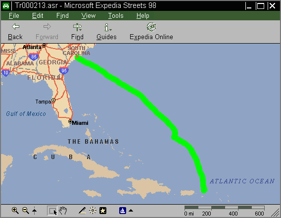
The screen image shows a GPS track that was converted to an ASR file with GARDYLOO -T2A.
ASR is a proprietary microsoft format that was reverse-engineered for compatibility with GARDYLOO. It has been tested to be compatible with Streets Plus (1997) and with Streets 98. It has not been tested with Streets 2000, but no reports of incompatibility have been received.
Simple routes can be highlighted in Streets (start from destination) and then saved as an ASR file. This file can be converted to a Track File with GARDYLOO -A2T, and the resulting track file uploaded to a GPS receiver. This can be a crude but effective way of navigating with only a GPS receiver.
|GARDYLOO|
|Track File| |Waypoint
File| |Coastline Data|
|DXF File| |ASR File|
|Speed Data|
Copyright © A. Peter Allan, 2000. All rights reserved.